Property Record
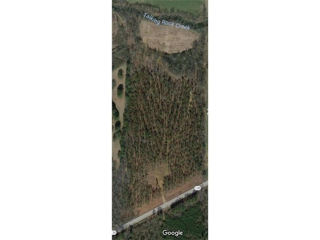
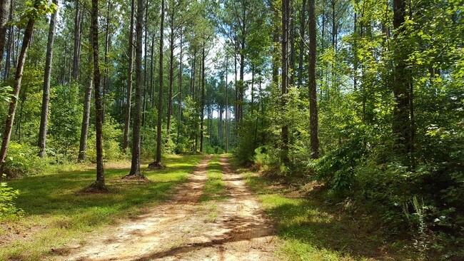
6552 Highway 136 W, Talking Rock, GA 30175

NEARBY LISTINGS FOR SALE OR LEASE
-
-
View all Talking Rock listings for sale on LoopNet.com
Property Detail
6552 Highway 136 W
Atlanta-Sandy Springs-Roswell, GA
Wilmont Williams
019-000-003-000
Pickens
Sfr
Georgia
A
31.08 AC
13123C0275D
Pickens County
1,800 SF
Atlanta
DEMOGRAPHICS near 6552 Highway 136 W
1 Mile
3 Mile
5 Mile
2024 Total Population
252
2,107
8,075
2029 Population
283
2,350
8,994
Pop Growth 2024-2029
+ 12.30%
+ 11.53%
+ 11.38%
Average Age
42
41
41
2024 Total Households
97
776
2,951
HH Growth 2024-2029
+ 12.37%
+ 11.34%
+ 11.15%
Median Household Inc
$67,500
$61,636
$61,589
Avg Household Size
2.60
2.60
2.70
2024 Avg HH Vehicles
2.00
2.00
2.00
Median Home Value
$257,894
$245,394
$237,593
Median Year Built
1989
1993
1995
Nearby Places
Map Layers
Map Styles
 Street
 Aerial
- Restaurants
- Banks
- Shops
- Fitness
- Groceries
SALE & LEASE HISTORY
LISTING DATE
SALE/LEASE

Nov 13, 2018
For Sale
Aug 04, 2017
For Sale
Nearby Properties
Address
Land Use
TOTAL SIZE
Lot Size
Zoning
Address
Land Use
TOTAL SIZE
Lot Size
Zoning
1,332.14 AC
R1
Address
Land Use
TOTAL SIZE
Lot Size
Zoning
3,919 SF
113.09 AC
AG
Address
Land Use
TOTAL SIZE
Lot Size
Zoning
720 SF
249.08 AC
I
Address
Land Use
TOTAL SIZE
Lot Size
Zoning
260 SF
25 AC
I
Address
Land Use
TOTAL SIZE
Lot Size
Zoning
538.93 AC
AG
Address
Land Use
TOTAL SIZE
Lot Size
Zoning
37,345 SF
39.82 AC
I
Address
Land Use
TOTAL SIZE
Lot Size
Zoning
19,574 SF
35.16 AC
AG
Address
Land Use
TOTAL SIZE
Lot Size
Zoning
186.17 AC
R1
Address
Land Use
TOTAL SIZE
Lot Size
Zoning
12,200 SF
20.75 AC
HB
Address
Land Use
TOTAL SIZE
Lot Size
Zoning
2,880 SF
2.17 AC
HB
Address
Land Use
TOTAL SIZE
Lot Size
Zoning
313.50 AC
C-2
Address
Land Use
TOTAL SIZE
Lot Size
Zoning
2,400 SF
26.65 AC
I
Address
Land Use
TOTAL SIZE
Lot Size
Zoning
71.29 AC
HB
Address
Land Use
TOTAL SIZE
Lot Size
Zoning
12,934 SF
5.20 AC
HB
Address
Land Use
TOTAL SIZE
Lot Size
Zoning
3,662 SF
3.77 AC
HB
Address
Land Use
TOTAL SIZE
Lot Size
Zoning
3,150 SF
11.43 AC
HB
Address
Land Use
TOTAL SIZE
Lot Size
Zoning
179.50 AC
AG
Address
Land Use
TOTAL SIZE
Lot Size
Zoning
46.96 AC
R1
Address
Land Use
TOTAL SIZE
Lot Size
Zoning
185.58 AC
C-2
Address
Land Use
TOTAL SIZE
Lot Size
Zoning
144 AC
AG
Address
Land Use
TOTAL SIZE
Lot Size
Zoning
108.90 AC
NC
Address
Land Use
TOTAL SIZE
Lot Size
Zoning
164.87 AC
C-2
Address
Land Use
TOTAL SIZE
Lot Size
Zoning
2,400 SF
0.90 AC
C-2
Address
Land Use
TOTAL SIZE
Lot Size
Zoning
214.19 AC
AG
Address
Land Use
TOTAL SIZE
Lot Size
Zoning
114.62 AC
AG
Address
Land Use
TOTAL SIZE
Lot Size
Zoning
51.57 AC
AG
Address
Land Use
TOTAL SIZE
Lot Size
Zoning
107 AC
NC
Address
Land Use
TOTAL SIZE
Lot Size
Zoning
47.17 AC
AG
Address
Land Use
TOTAL SIZE
Lot Size
Zoning
144.24 AC
HB
Address
Land Use
TOTAL SIZE
Lot Size
Zoning
77.78 AC
C-2
The World's #1 Commercial Real Estate Marketplace
Connect with us
© 2026 CoStar Group
The information above has been obtained from sources believed reliable. While we do not doubt its accuracy we have not verified it and make no guarantee, warranty or representation about it. It is your responsibility to independently confirm its accuracy and completeness. Any projections, opinions, assumptions, or estimates used are for example only and do not represent the current or future performance of the property. The value of this transaction to you depends on tax and other factors which should be evaluated by your tax, financial, and legal advisors. You and your advisors should conduct a careful, independent investigation of the property to determine to your satisfaction the suitability of the property for your needs.